Turkey Routes

All Turkey Routes

Hand-curated trails, coastal drives, mountain treks and cultural journeys — every route personally explored and documented.

Filter Routes
Region
Difficulty
Duration

Published Route Guides

Every Route, Ready to Walk

Detailed field-verified guides for Turkey's most rewarding long-distance trails — from coastal classics to remote highland traverses.

Lycian Way: Ölüdeniz to KalkanAegean Coast

Lycian Way: Ölüdeniz to Kalkan

87 km
5–7 days
Moderate

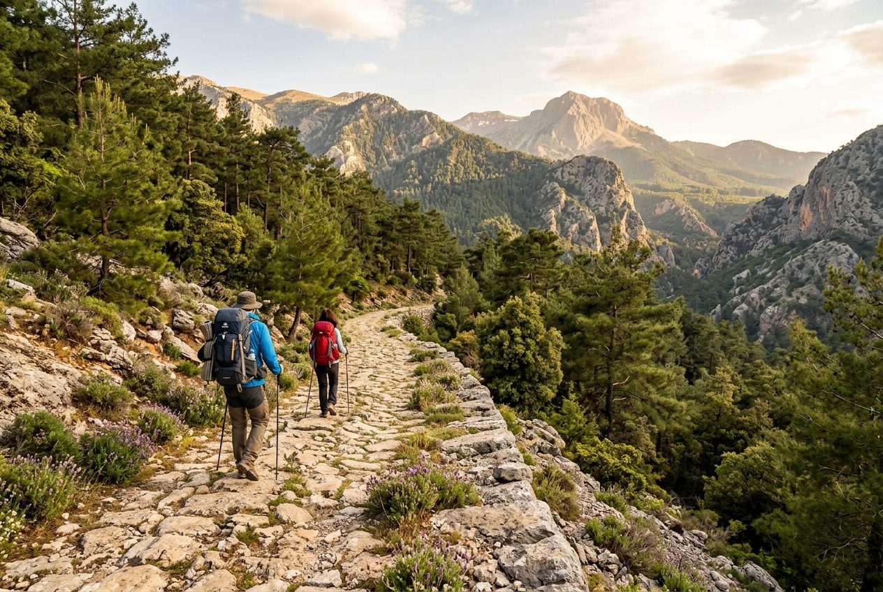
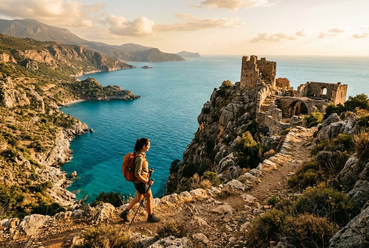
Trace cliff-top trails above turquoise coves where ancient Lycian tombs peer from limestone bluffs. This coastal stretch rewards walkers with secluded beaches, Byzantine ruins, and sun-baked villages forgotten by time.

Kaçkar Mountains High RouteBlack Sea & Northeast

Kaçkar Mountains High Route

120 km
8–10 days
Challenging

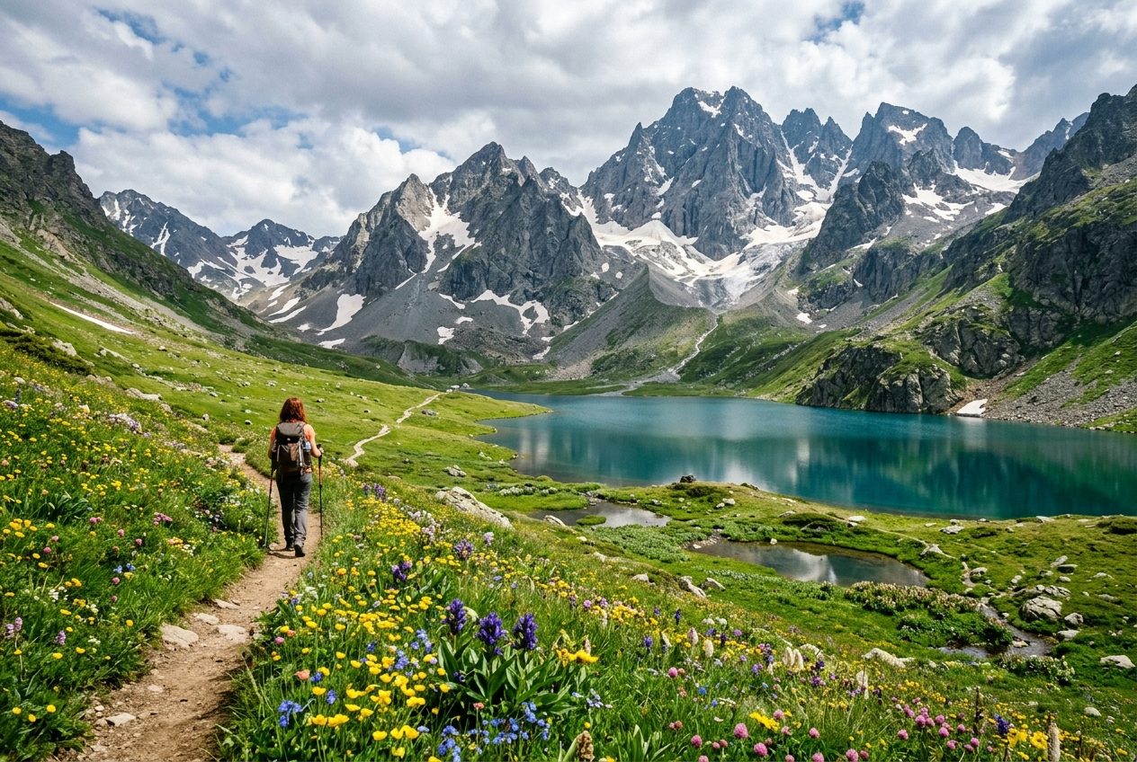
Cross glacial passes and descend into tea-garden valleys in Turkey's wildest highland range. The Kaçkar rewards experienced trekkers with alpine lakes, Hemshin villages, and a landscape that feels utterly remote.

Cappadocia Valley CircuitCentral Anatolia

Cappadocia Valley Circuit

48 km
3–4 days
Easy

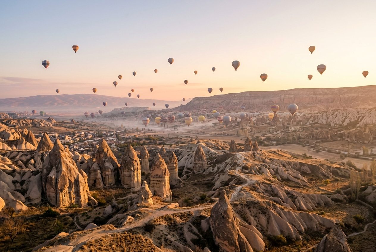
Wind through fairy chimneys, rock-cut churches, and rose-hued valleys in the world's most surreal walking landscape. A circuit accessible to most fitness levels, connecting Göreme, Çavuşin, and Soğanlı with minimal elevation gain.

St. Paul Trail: Perge to YalvaçMediterranean Hinterland

St. Paul Trail: Perge to Yalvaç

500 km
25–30 days
Challenging

Follow the footsteps of the Apostle Paul from the Roman ruins of Perge deep into the Anatolian highlands. This epic pilgrimage trail crosses the Taurus Mountains and arrives at the site of ancient Antioch in Pisidia.

Ida Mountain Forest TrailAegean & Marmara

Ida Mountain Forest Trail

64 km
4–5 days
Moderate

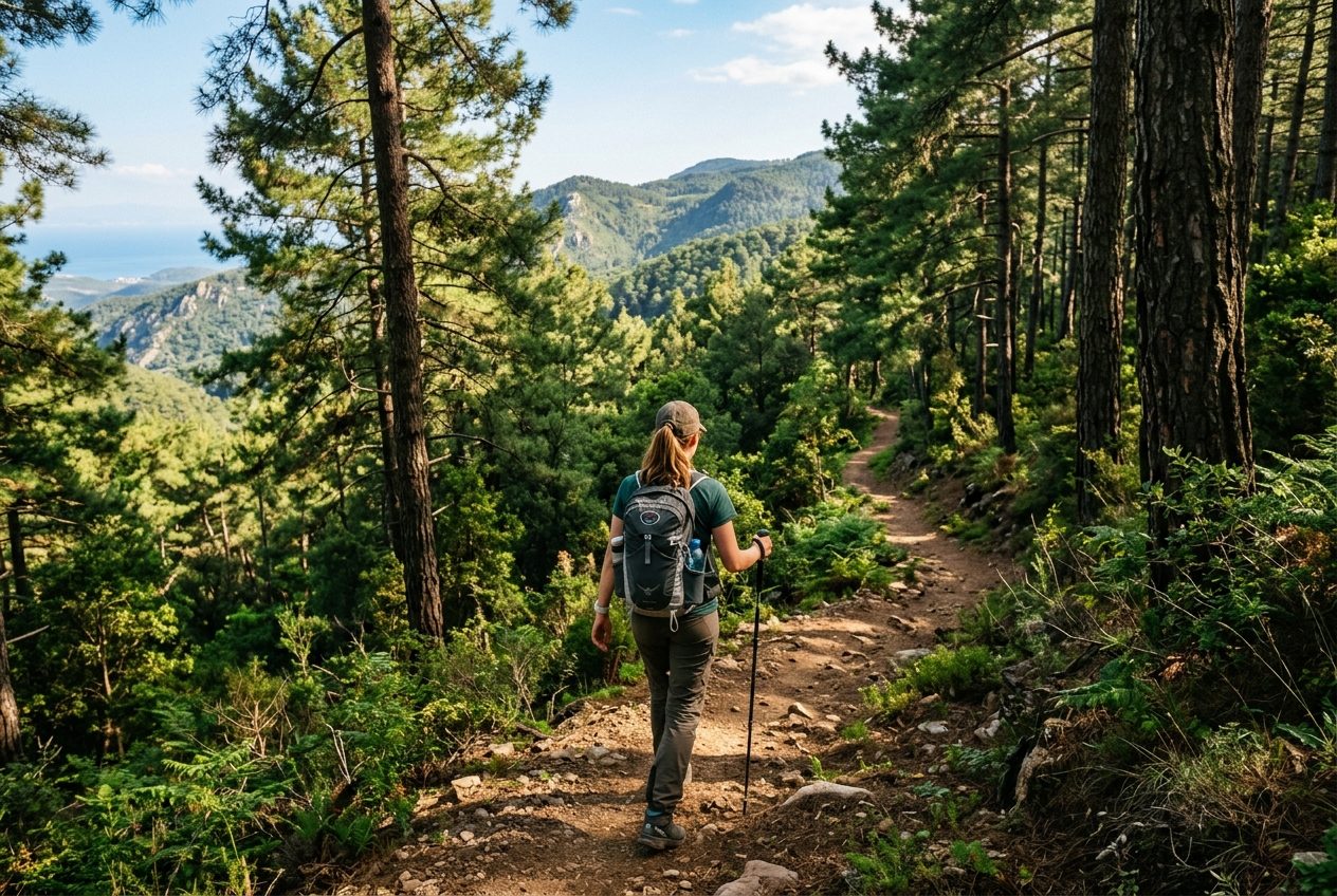
Explore the pine-clad slopes of Mount Ida, sacred to ancient Greeks and Romans, above the Troy plain and Dardanelles strait. Villages of weavers and olive growers provide warmth and home-cooked meals along the way.

Nemrut to Göbekli Tepe Heritage WalkSoutheast Anatolia

Nemrut to Göbekli Tepe Heritage Walk

95 km
6–7 days
Moderate

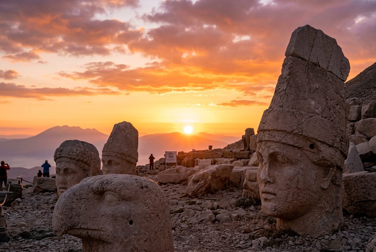
Connect two of humanity's most astonishing archaeological sites on foot across the sun-scorched Anatolian plateau. Walk between a megalomaniac king's mountain tomb and the world's oldest temple complex through landscapes of raw, ancient power.

Showing 1–6 of 9 routes

Route Guide Handbook

How to Use
These Routes

Everything you need to know about how our guides are built, how to take them offline, and why every single one is free — no strings attached.

Every route guide published by ALI KOCAADAM is structured to give you a complete picture before you take a single step. Here's what you'll find inside each one:

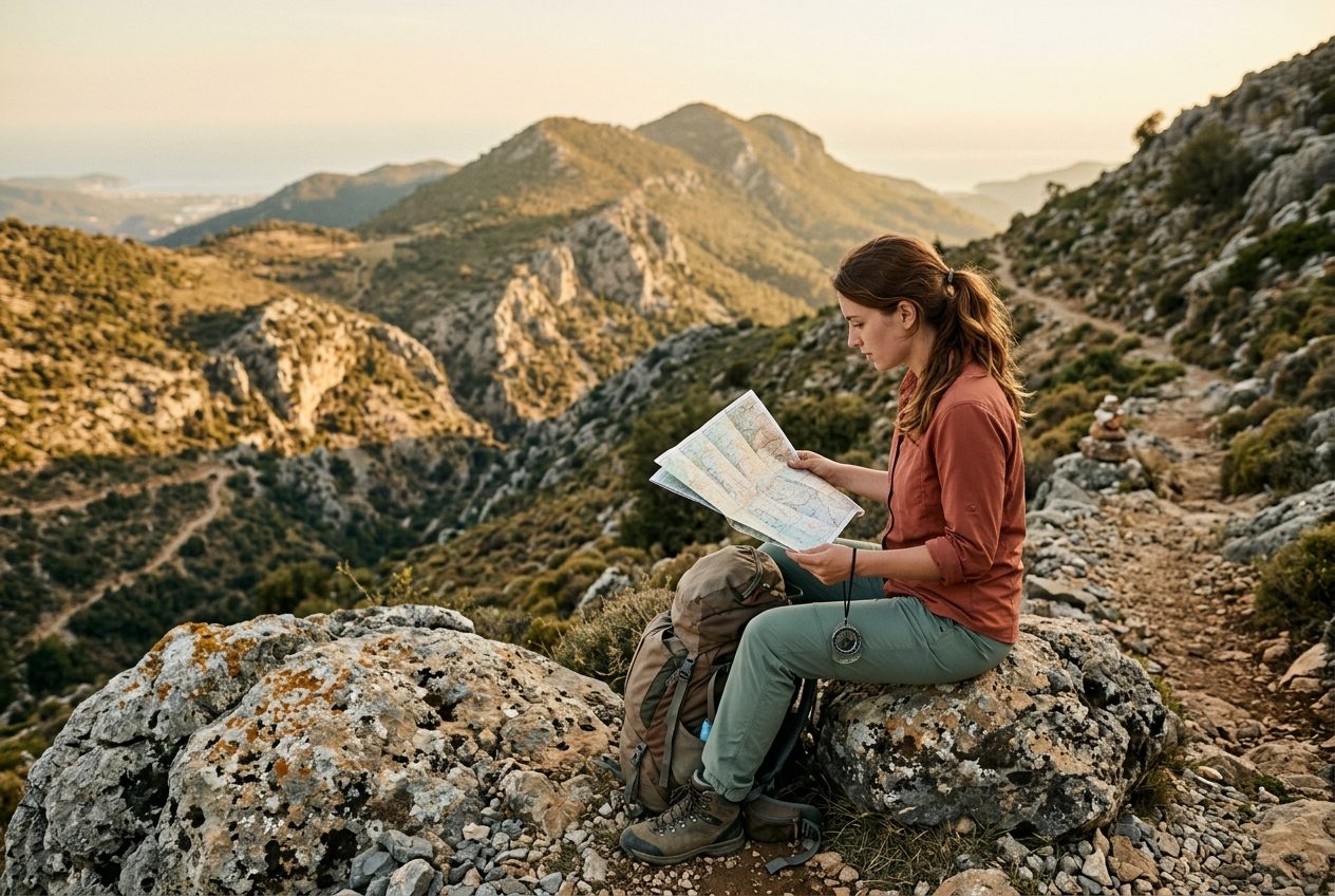
  • Detailed route maps: Hand-curated topographic overviews with marked trails, key junctions, and distance markers.
  • Named waypoints: Every significant landmark, village entry point, water source, and viewpoint is labelled and described.
  • Accommodation tips: Honest notes on guesthouses, village homestays, campsites, and budget pansiyon options along the route.
  • Transport options: How to reach the trailhead by bus, minibus (dolmuş), or shared taxi — including approximate costs and schedules.
  • Timing & difficulty: Realistic walking durations, elevation profiles, and seasonal advice so you can plan confidently.

You don't need cell service on the trail. Here are the best ways to take ALI KOCAADAM route maps with you — completely offline:

01

Use Maps.me or OsmAnd

Both apps are free and powered by OpenStreetMap data — the same open dataset our route overlays are based on. Download the relevant Turkey region before you leave home Wi-Fi.

02

Save the GPX file

Each route guide page includes a downloadable GPX track. Import it directly into OsmAnd, Gaia GPS, or Komoot. The file contains all waypoints and the exact trail line.

03

Take a PDF screenshot backup

Use your browser's 'Print to PDF' or 'Save page' feature on any route guide. A PDF stored on your device means you have the written notes even if your GPS app misbehaves.

04

Mark your start & end points

Before going offline, pin the trailhead and nearest town in Google Maps (tap & hold to drop a pin, then save to a list). This helps when you need a taxi or dolmuş at the end.

There is no catch. Every route guide, map, GPX file, and travel note on ALI KOCAADAM is completely free to read and use. There are no paywalls, no premium tiers, no subscription fees, and no affiliate booking links embedded in the content.

This project is non-commercial. It was built because Turkey's inland and coastal trails deserve documentation that is honest, detailed, and independent — not shaped by hotel commissions or sponsored placements.

The only thing we ask in return:

  • Share the site with a friend who loves hiking or slow travel.
  • Respect the landscapes, local communities, and Leave No Trace principles.
  • If you find an error or outdated information, let us know via the Contacts page.

Content on this site is published under a Creative Commons Attribution–NonCommercial licence. You may adapt and share it freely for non-commercial purposes with credit to ALI KOCAADAM.
Routes are revisited and updated whenever conditions change — after seasonal flooding, road construction, trail rerouting, or when a guesthouse closes or opens. Each guide shows a "Last verified" date near the top so you always know how fresh the information is.

Turkey's landscape changes quickly in some regions. A few practical tips for staying current:

  • Check the 'Last verified' date before a multi-day trip — if it's older than 18 months, consider cross-referencing with a local hiking forum.
  • For Lycian Way and St. Paul Trail segments, the Kültür Yolları directorate occasionally reroutes sections; always download the latest GPX.
  • Village accommodation listings change seasonally. Call ahead — phone numbers are listed directly in the guide.
  • Bookmark the route page and reload it a day before departure to catch any recent edits.

Absolutely — community knowledge makes these guides better. If you've walked a route and found discrepancies, discovered a new village guesthouse, or want to suggest an entirely undocumented path, we want to hear from you.

The best way to reach out is through the Contacts page. Please include:

  • The route name or region you're referring to.
  • The specific waypoint or section that needs updating.
  • Any photos, coordinates, or notes that help verify the change.

Submissions are reviewed personally before any changes go live. Contributors who provide verified, detailed updates are credited by name (or initials, if preferred) in the guide's acknowledgements.

Still have a question?

Write to us — we reply personally, usually within 48 hours.

Get in Touch
ALI KOCAADAM

Discover Turkey's Hidden Paths, One Route at a Time.

Hand-curated travel routes through Turkey's most extraordinary landscapes, ancient ruins, coastal villages, and mountain trails — compiled by a local who's walked every one of them.

Owner: ALI KOCAADAM

Address: Lale Caddesi No:16, 42070 Selçuklu/Konya, Türkiye

Email: [email protected]

Phone: +90 500 123 45 67

Legal

Curated with care since 2019
Based in Konya, exploring all of Türkiye

© 2026 ALI KOCAADAM. All rights reserved. Travel content is for informational purposes only. Always verify local conditions before embarking on any route.

ALI KOCAADAM·Türkiye